Paris has the Seine, London has the Thames, what does Melbourne have?
It is the river called the Yarra.
It is a big river that flow from the foothills of Mount Baw Baw in the Yarra Ranges National Park for around 242km until it enters its mouth at the entrance to Port Philip Bay.
And it is no ordinary river … it’s known for being brown!
Why is the Yarra so brown? It is due to silt, dissolved from easily-eroded clay. Apparently, the Yarra had clear water before European settlement, according to the city’s main water company, Melbourne Water, but high levels of land clearing and development during the industrial revolution in the 19th century caused these microscopic clay particles to enter the water, maintained in suspension by turbulence in the middle and lower sections of the river, making it the colour it is today.
Interestingly, and for all its muddy-browness, the Wurundjeri people, who have been connected to the Yarra for at least 30,000 years, call the river the Birrarung, meaning “a place of mists and shadows”.
We love the funny bends in the river too: there is a stretch not far from the city called the Yarra Bend Park with some rather acute zigzags. If we trace the river from the city itself, it first flows southeast away from the city but then takes a “northwards” bend (after passing through the suburbs of South Yarra and Burnley and briefly touching Toorak, just before it reaches the north-south Glenferrie Road) and curls backwards and upwards for some while and in fact zigzagging almost painfully in the “Yarra bends” section before it smoothens out and ends up flowing northeast!
Whether you are there for a few days or are a resident, you should know about the amazing biking and walking trails that follow parts of the river: two of our favourites are the 38-kilometres-long Main Yarra Trail and the 27-kilometre loop that is the Capital City Trail.
The Main Yarra Trail follows the Yarra River from near its mouth, through the city towards the northeastern suburbs of Melbourne passing through the Yarra bends; while the Capital City Trail is a circuit that uses the same path up til a very interesting spot called the Dight Falls, an ancient meeting place for the Wurunjderi people, but then it does a loop around the city, with a small section that overlaps with the Main Yarra Trail. The sections around Dight Falls and the surrounding Yarra Bend sections is where you cannot fail to immerse yourself in the “brownishness” of the riverscapes of Yarra.
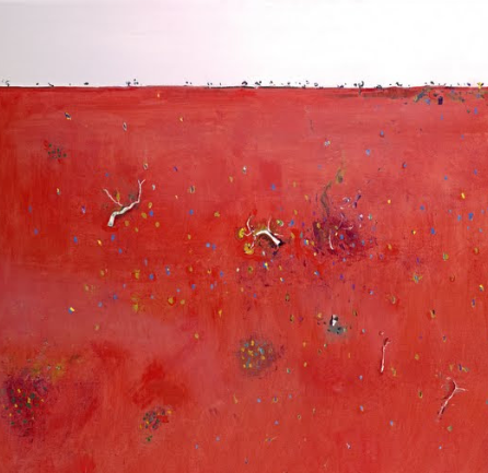
Amidst this brown-ness, you might also find the reddish brown in the landscape that is distinctive of not only Melbourne but also the antipodean continent, often known as “dirt red”, literally the red color of the dirt in Australia that is caused by the presence of iron oxide, also known as rust, in the soil. The iron oxide forms when the iron in the soil is exposed to oxygen and water, and it gives the soil a reddish-brown color. Additionally, Australia has a dry climate which causes the iron oxide to remain on the surface of the soil, making it more visible. This is why much of the Australian outback appears red (and the government’s satellite service tells us that the continent looks red from space).


